Saar-Radweg
Saar-Radweg
Start: Sarreguemines (FR)
Ziel: Konz
Foto: Tourismus Zentrale Saarland / Eike Dubois
Tourbeschreibung
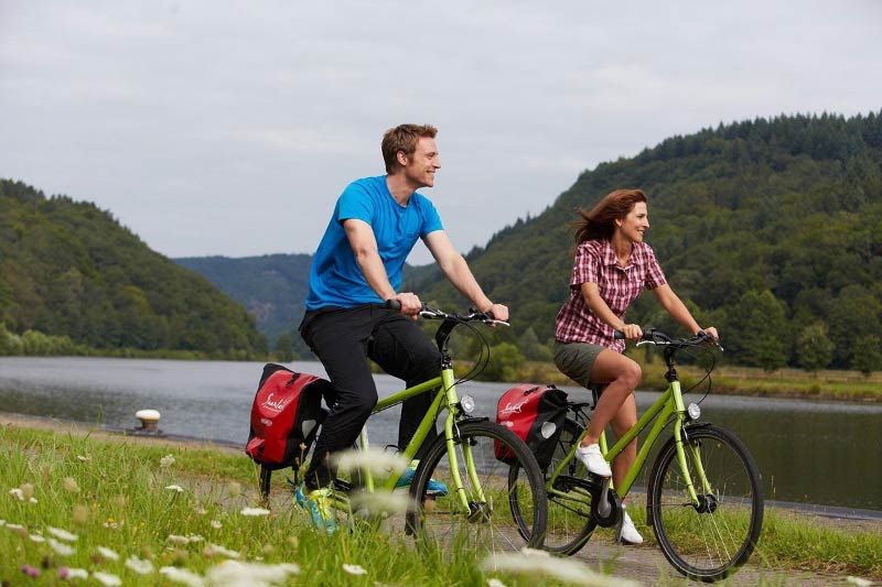
Der Saar-Radweg ist eine zertifizierte ADFC Qualitätsradroute mit 4 Sternen
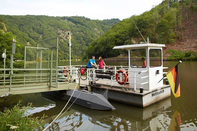
Die familienfreundliche, völlig ebene Tour führt entlang des Saarufers von Sarreguemines in Frankreich bis nach Konz, wo Saar und Mosel aufeinandertreffen. Besonders sehenswert sind die Stadt Saarbrücken mit ihren barocken Bauten, das UNESCO-Weltkulturerbe Völklinger Hütte, die Festungsstadt Saarlouis, die Stadt Merzig mit dem Wolfspark, die Saarschleife, der Lifestyle-Anbieter Villeroy & Boch und die pittoreske Stadt Saarburg.
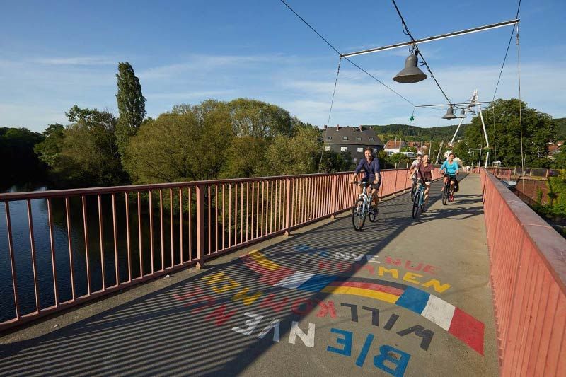
Foto: Tourismus Zentrale Saarland / Marcus Gloger / CC BY
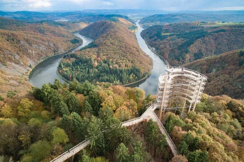
Foto: Alexander M. Groß / CC BY
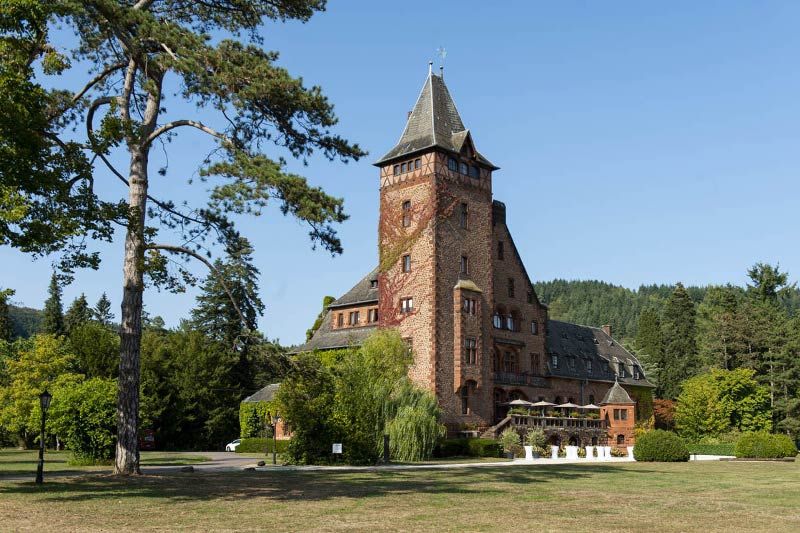
Foto: Manuela Meyer / CC BY
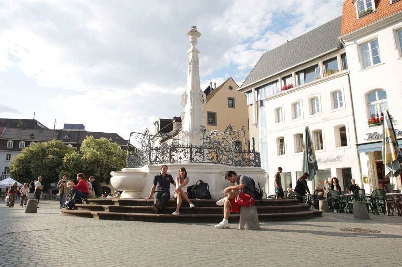
Foto: Tourismus Zentrale Saarland / Eike Dubois / CC BY
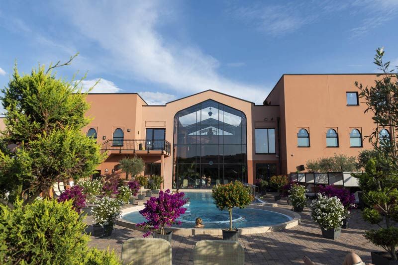
Foto: Manuela Meyer / CC BY
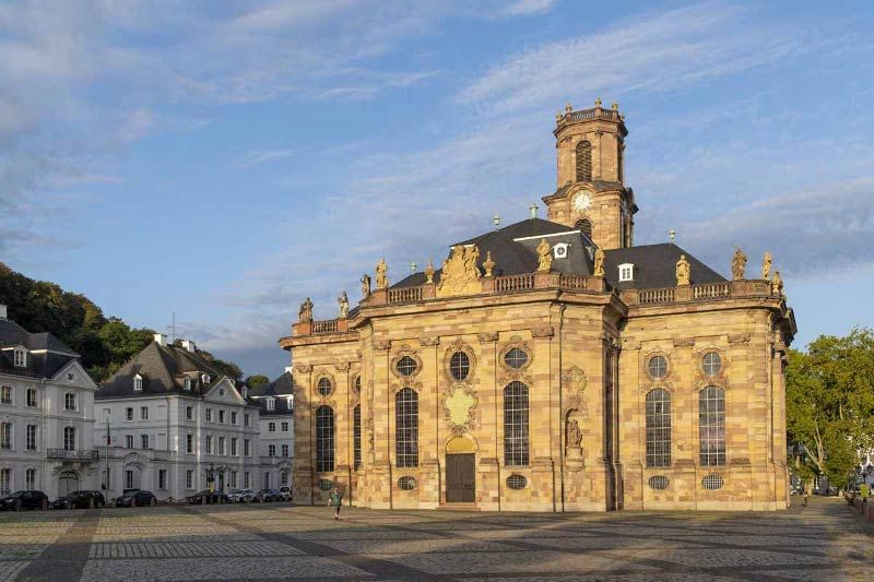
Foto: Manuela Meyer / CC BY

Foto: Oliver Dietze / CC BY
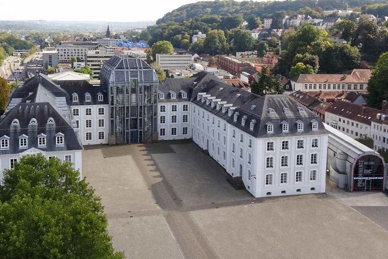
Foto: Historisches Museum Saar / Markus Kecker / CC BY
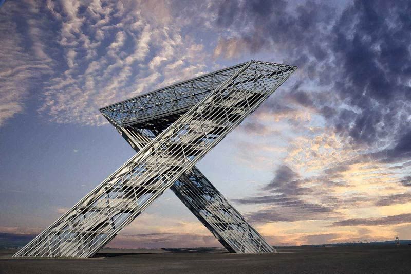
Foto: Johannes Ruße / CC BY
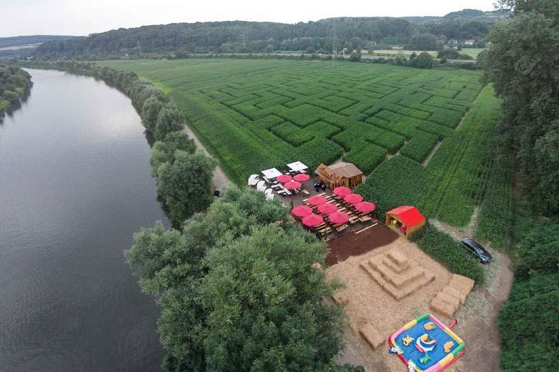
Frank Goebel / CC BY
- Foto: Tourismus Zentrale Saarland / Marcus Gloger / CC BY
- Foto: Alexander M. Groß / CC BY
- Foto: Manuela Meyer / CC BY
- Foto: Tourismus Zentrale Saarland / Eike Dubois / CC BY
- Foto: Manuela Meyer / CC BY
- Foto: Manuela Meyer / CC BY
- Foto: Oliver Dietze / CC BY
- Foto: Historisches Museum Saar / Markus Kecker / CC BY
- Foto: Johannes Ruße / CC BY
- Frank Goebel / CC BY
Tourdaten
Etappen
2
Länge
112,2 km
Aufstieg
57 m
Abstieg
120 m
Höchster Punkt
195 m
Tiefster Punkt
129 m
Schwierigkeit
leicht
Start und Ziel
Sarreguemines
Rue Raymond Poincaré
(N 49° 6' 14.429" | O 7° 4' 28.762" )
Konz
Saar-Mündung
(N 49° 41' 57.055" | O 6° 34' 7.892" )
Rue Raymond Poincaré
(N 49° 6' 14.429" | O 7° 4' 28.762" )
Konz
Saar-Mündung
(N 49° 41' 57.055" | O 6° 34' 7.892" )
Kartografie
Streckenverlauf, Unterkünfte, Gastronomie, Sehenswürdigkeiten und vieles mehr
Tourismus Zentrale Saarland GmbH
Trierer Str. 10
66111 Saarbrücken
Telefon +49 (0) 681 927200
www.urlaub.saarland
 Inhalte werden aktualisiert.